
For other industries or use cases, contact us to discuss your requirements


See your risk. Control your exposure. Act with confidence.
Visualize risk in real time, assess exposure across your entire portfolio, and instantly generate audit-ready reports, all in one powerful, interactive environment.

Quarticle’s geospatial intelligence platform allowed us to harmonize our application landscape. Finally, we can centrally manage all geospatial workflows and drive efficiency and effectiveness across our underwriting workflows. Providing our customers and brokers with these significantly better and faster services not only saves operating costs but also improves our underwriting decisions and increases our margins-it allows us to provide the best-in-class experience to our users.


Our Underwriting and Risk Accumulation Control solution combines dynamic risk analysis, live portfolio visualization, and automated reporting in one seamless experience, eliminating delays and improving clarity across underwriting and portfolio teams.
See how insurance teams gain an edge with Quarticle
Blind spots in exposure
Easily identify and manage accumulations by geography, hazard type, or portfolio structure before they become a problem.
Disconnected systems
Integrate risk, location, and portfolio data into one view. No more toggling between tools or waiting for static reports.
Slow, manual workflows
Accelerate underwriting decisions with instant access to spatial risk data, enrichment layers, and modeling outputs.
Compliance & reinsurance reporting pressure
Generate detailed, structured accumulation reports that meet regulatory and partner requirements in minutes.

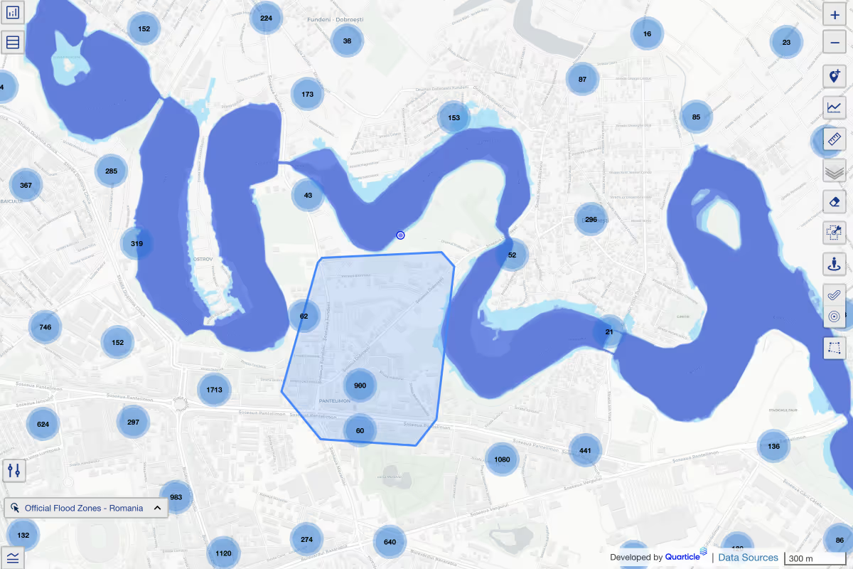
Visualize policy-level exposure on interactive maps with configurable layers for peril type, total insured value, policy class, and more. Drill into high-risk zones and identify concentrations at a glance.

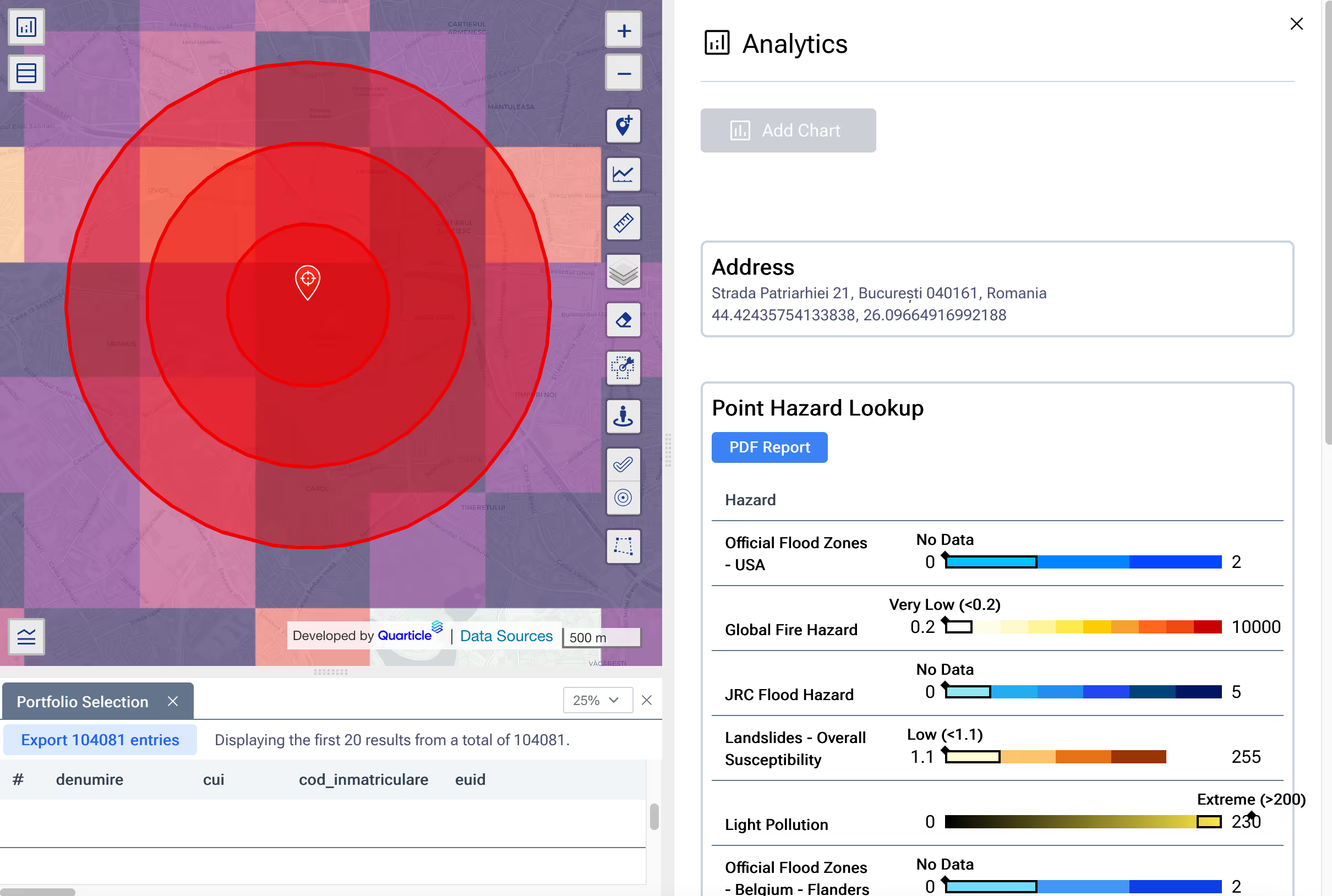
Run radius, polygon, or proximity-based checks on demand with no deep GIS expertise needed. Whether you’re evaluating a new quote or reviewing an entire book, you get insights in seconds.

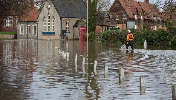
Overlay live or historical hazard data-like floods, wildfires, or storms-on your active portfolio to evaluate event impact.

Define custom rules to flag overexposure by region, peril, or policy group - helping you stay ahead of risk before it compounds.

Export insights in CSV or PDF formats for internal reviews, reinsurer communication, or regulatory submissions. Fully audit-ready, with no manual formatting required.

Confident underwriting with real-time spatial risk visibility

Faster exposure analysis across all lines of business

Reduced effort in generating compliance reports

Better preparedness for CAT events through dynamic scenario analysis

Designed to work at the scale of today’s insurance business, from specialty underwriters to global reinsurers. The system handles millions of policies, integrates with your existing tools, and delivers results in seconds instead of hours.
Access real-time spatial risk intelligence and exposure, enabling faster, smarter underwriting decisions.
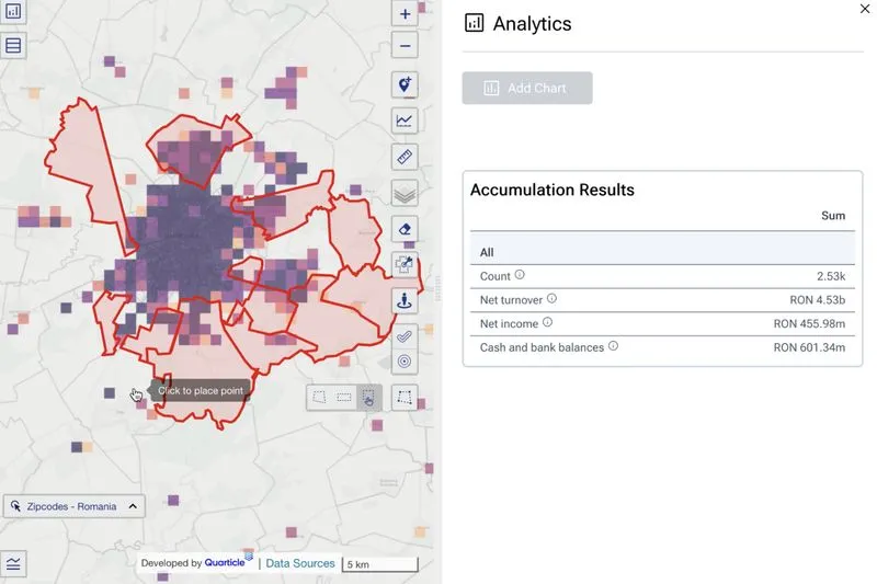
Continuously monitor and report aggregated exposures with clarity. Identify risk concentrations early.
Gain portfolio-wide visibility into trends, hotspots, and capital-at-risk to guide strategic decisions and reduce volatility.
Automate reporting for regulators and reinsurers with audit-ready insights, ensuring transparency, accuracy, and alignment with internal or external requirements.
Strengthen underwriting decisions through real-time risk insights.