
For other industries or use cases, contact us to discuss your requirements


Instantly assess CAT impact and geospatial exposure across your portfolio
From quote to claims, get real-time visibility into hazard footprints, affected exposures, and spatial risk drivers.

EventHub gives us the ability to understand risk accumulations and event impact in seconds. From underwriting to claims and reinsurance, our teams now rely on live event data to make faster, more confident decisions. No more chasing event maps or manual exposure checks, it just works.


The Footprint and GeoRisk Analysis solution uses EventHub, Quarticle’s real-time natural-event-capturing data hub, to help insurers understand the spatial relationship between their portfolios and unfolding or historical risk events. Designed to integrate directly into geospatial risk analysis workflows, EventHub enables underwriters, modelers, and claims handlers to act decisively shortly after an event.

Upload custom event footprints as polygons or GeoJSON. Uploaded footprints are stored in the backend and immediately available for analysis against your portfolio.

Analyse historical claims against event footprints to identify affected locations, assess event impact, and understand loss patterns.

Access event data for specific geographic areas or time periods to support individual portfolio, exposure, and risk analysis requirements.

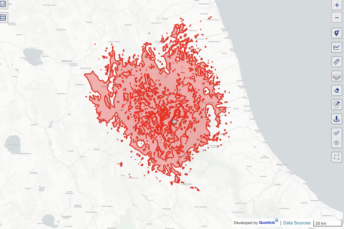
Display real-time or historical event footprints directly in Graph, our front-end location intelligence application. Overlay multiple events across time and location to assess risk evolution and track affected zones, all within a single, interactive map interface.

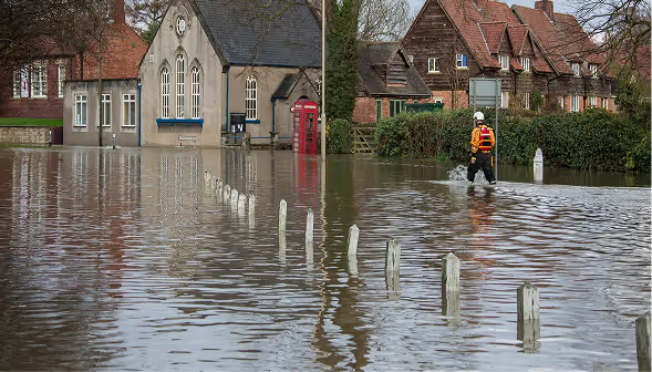
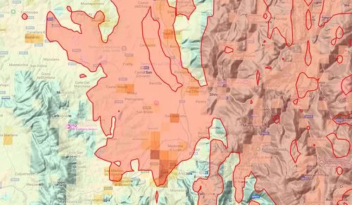
Intersect flood zones, wildfires, earthquakes, and other event footprints with your portfolio to identify affected exposures and assess impact as events unfold.

Run automated spatial analysis to identify affected exposures, risk concentrations, and overlaps between portfolios, claims, and event footprints. Support real-time capital impact estimation and accumulation analysis.

Prioritize inspections based on policy value, location, and hazard severity. Quickly identify and prioritize affected risks to support field deployment and accelerate claims processing.

Access historical event data to analyse past exposure, compare portfolio impact across events, validate risk models, and support portfolio analysis.
Faster loss estimation with event-to-policy joins in seconds
More resilient accumulation control with dynamic event insights
Higher underwriting precision with historical spatial loss intelligence
Improved claims performance via location-based prioritization
Audit-ready traceability of enrichment inputs and decisions
From real-time catastrophe response to long-term exposure analysis, the Footprint and GeoRisk Analysis on Portfolio and Claims Data solution, powered by EventHub, gives insurers the agility to act fast and plan smart.
Built to scale with your portfolio and integrate into your existing systems, it ensures that risk, claims, and accumulation decisions are always powered by the most current geospatial intelligence available.

Identify concentration risks at quote time. Support smarter selection and pricing strategies.
Rapidly locate affected policies, optimize field team dispatch, and improve early loss estimates.
Monitor accumulations in real time and reduce post-event capital shocks.
Align with reinsurance zones, validate event triggers, and prepare model-ready submission data.
Get real-time visibility to manage exposure and capital with confidence.