Connect data to territory, assets, and public services in one platform.

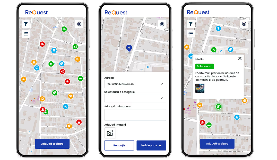
Integrate geospatial, environmental, administrative, infrastructure, mobility, and citizen-generated data to support planning, operations, and public-service delivery.

A person holding a smartphone with a digital, glowing globe and data network visualization hovering above the screen. The image represents mobile access to geospatial intelligence and global data.

A GeoIntelligence Foundation for Public-Sector Operations

Quarticle provides a cloud-native GeoIntelligence foundation for connecting distributed data, systems, and services through a shared geographic context.

Connect distributed data

Bring together GIS, administrative systems, open-data portals, sensors, satellite services, infrastructure databases, and other territorial data sources.

Analyse at scale

Process large spatial datasets and high-volume requests with APIs and geospatial services designed for enterprise and public-sector environments.

Integrate existing systems

Connect GIS, data platforms, analytical systems, and operational applications through APIs, OGC services, and open standards.

Support operational workflows

Turn geographic information into operational views, automated analysis, alerts, reports, and workflows for technical and operational teams.

The Quarticle GeoIntelligence Platform

Quarticle brings together the engines, applications, APIs, and deployment capabilities needed to manage, analyse, and operationalize geospatial data across public-sector environments.

Quarticle Solutions for Public Administration

Built for Public-Sector Scale and Control

Cloud-native

Containerized services run on Kubernetes for scalable, highly available GeoIntelligence deployments.

Open and interoperable

APIs, OGC services, open formats, and GIS standards connect existing systems and data.

Flexible deployment

Deploy GeoIntelligence in private, hybrid, on-premises, air-gapped, or other controlled environments.

Built for public-sector teams

Web applications provide maps, dashboards, reports, and analytical views for technical and operational users.

Works with your existing environment

Quarticle integrates with the GIS, data, and operational technologies public-sector organizations already use.

Supported technologies and interfaces include:

QGIS and ArcGIS

OGC services

GeoServer and other geospatial services

APIs and microservices

PostgreSQL/PostGIS

Kubernetes-based deployments

On-premises and controlled environments

Data platforms and analytical systems

Existing administrative and operational systems

Connect your data, systems, and services with Quarticle.

Consult our experts to explore your use case.